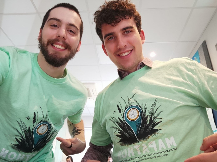
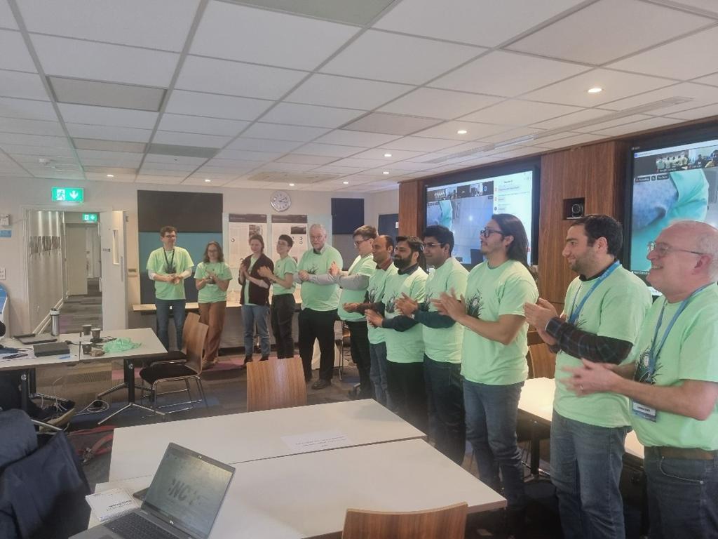
On Saturday April 6, 2024, the “Tourbeux” team set up by AC3A represented France at the European Peatlands & Policies Open Data Mapathon 2024 set up by the University of Galway in Ireland. The goal of this day was to map European’s peatlands and link them to public policy using open data.
With 184 people registered and 20 teams participating in the Mapathon, the following countries were all mapped using QGIS open source software: Ireland, the United Kingdom (Scotland and England), the Netherlands, Germany, France, Finland, Denmark, Sweden, Norway, Iceland, Latvia, Lithuania, Estonia and Poland. Thanks to the financial support from the Interreg NWE BUFFER+ project, a French team could be set up by AC3A and sent to Galway with the luggage full of open source shapefiles and policies.
The Peatlanders
The team “Les tourbeux” ('Peatlanders' in French) combined the
skills in GIS, environment and agronomy of two Masters students to map and
analyse the many policies and governance dynamics that govern French peatlands,
starring:
- Hugo Lachater, a student in his 5th year of agronomy engineering at ESA in Angers, who has just started an internship on peatlands at AC3A.
- Théo Bizart-Duch, a student following a Master degree in Geography and Regional Planning at the University of Franche-Comté and currently doing a work placement at the Franche-Comté Regional Biodiversity Agency.

According to Hugo “our French team was made up of two nature conservation enthusiasts who didn't know each other until the day before the mapathon. Nevertheless, the team got on really well. During the event, we decided to focus on the peat bogs of the Lac de Grand-Lieu. The area is rife with national and regional policies on environmental protection and risk management, such as flooding. However, these policies do not prevent agriculture from thriving in these peatland areas, since of the 9.7 km2 of peatland on the lake, 2.3 km2 is used for agriculture”
The winners of the event were as follows:
- 1st Prize, Peat-cell Pixels led by Behaz Mozafari of UCD who mapped Ireland.
- 2nd Prize, Kastani Street led by Liina Hints of the University of Tartu who mapped Estonia.
- 3rd Prize, Peat Finders led by Shivani Negi of Wetlands International who also mapped Estonia.
A special heritage award was won by the Peatlands Policies Polygons led by Ellis Dupker also of Wetlands International who mapped the Netherlands.

Translation to BUFFER+
The results of Hugo and Théo team’s work will now feed into the activities of
work package 3 of the BUFFER+ project, which focuses on improving governance
models in peatland areas. In the coming month, Hugo will keep on studying the maps
in the French pilot region of BUFFER+ located across the Normandie, Brittany
and Pays de la Loire regions, focusing his work on peatlands land use, public
subsidies and environmental regulation to draw up a more detailed portrait of
the stakeholders, challenges and governance in this area.
To learn more about their participation during the Mapathon, you can watch their live interview. (4:21:42)
Special thanks to
AC3A would like to thank warmly Niall O’Brolchain from NUI Galway for
inviting us to the mapathon, and all the collaborators in France who helped us put
together this French team in such a short notice and supported their preparation
for the Mapathon: the Pôle Relais Tourbières, the Conservatoires des Espaces
Naturels, the Chambers of Agriculture of Brittany and Pays de la Loire, the
University of Franche-Comté, the Forum des Marais Atlantiques, the ESA school and
the Regional Agency of Biodiversity of Franche-Comté.